
Overview
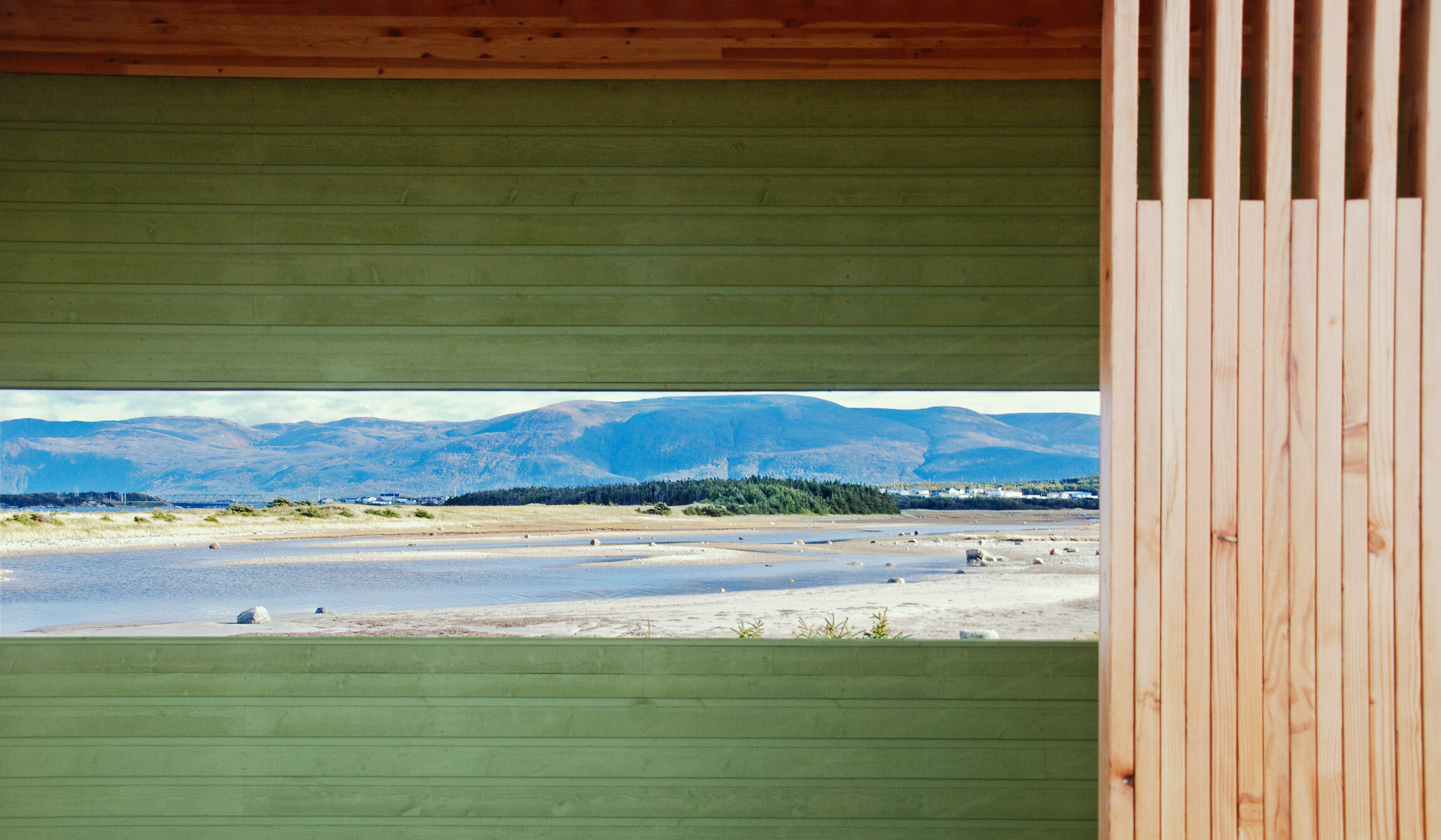
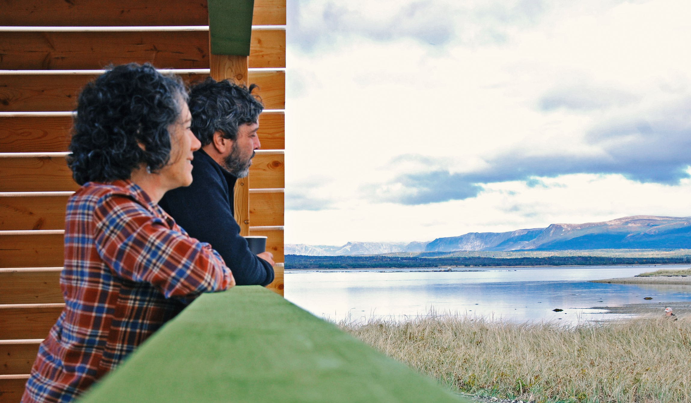
Formed by glacial sands and sculpted by the North Atlantic, the landscape serves as one of the richest wildlife nurseries on the coast. Nutrient-rich saltmarsh grasses and eelgrass beds provide food for migrating shorebirds, marine animals, and larger predatory fish and seals. While the area’s fishing roots run deep—evidenced by the weathered summer premises at Old House Rocks—St. Paul’s is now a haven for those seeking serenity. Visitors can hike the scenic Heritage Trail to Cow Head, watch for raptors soaring over the dunes, or simply wade into the clear water and look at all the marine life that thrives in the warm shallows of the inlet. It is a community built on a legacy of hospitality, where traditions of song run deep and historic culture thrives.
How to Get Here
Leave Highway 430 and venture onto a winding gravel road toward Tickle Point. Pass sandy beaches and open farm fields as the road draws you toward a cluster of seasonal cottages. Veer right, and you’ll discover this structure taking in the sweeping beauty of the saltmarsh and St. Paul’s.