
Overview
Rocky Harbour has grown from a handful of small fishing coves into the largest community in Gros Morne National Park. Today, fishing boats still share the harbour with tour vessels, while visitors stroll the waterfront, enjoy fresh local seafood, and set out to explore the park’s spectacular landscapes. From here, the Gulf of St. Lawrence stretches to the horizon, where whales, seals, seabirds, and vessels of every size pass by, while the Long Range Mountains rise to the northeast. As evening falls, often accompanied by a dramatic sunset, the beam from Lobster Cove Head Lighthouse shines across the harbour, a familiar sight for generations of residents and visitors alike.
How to Get Here
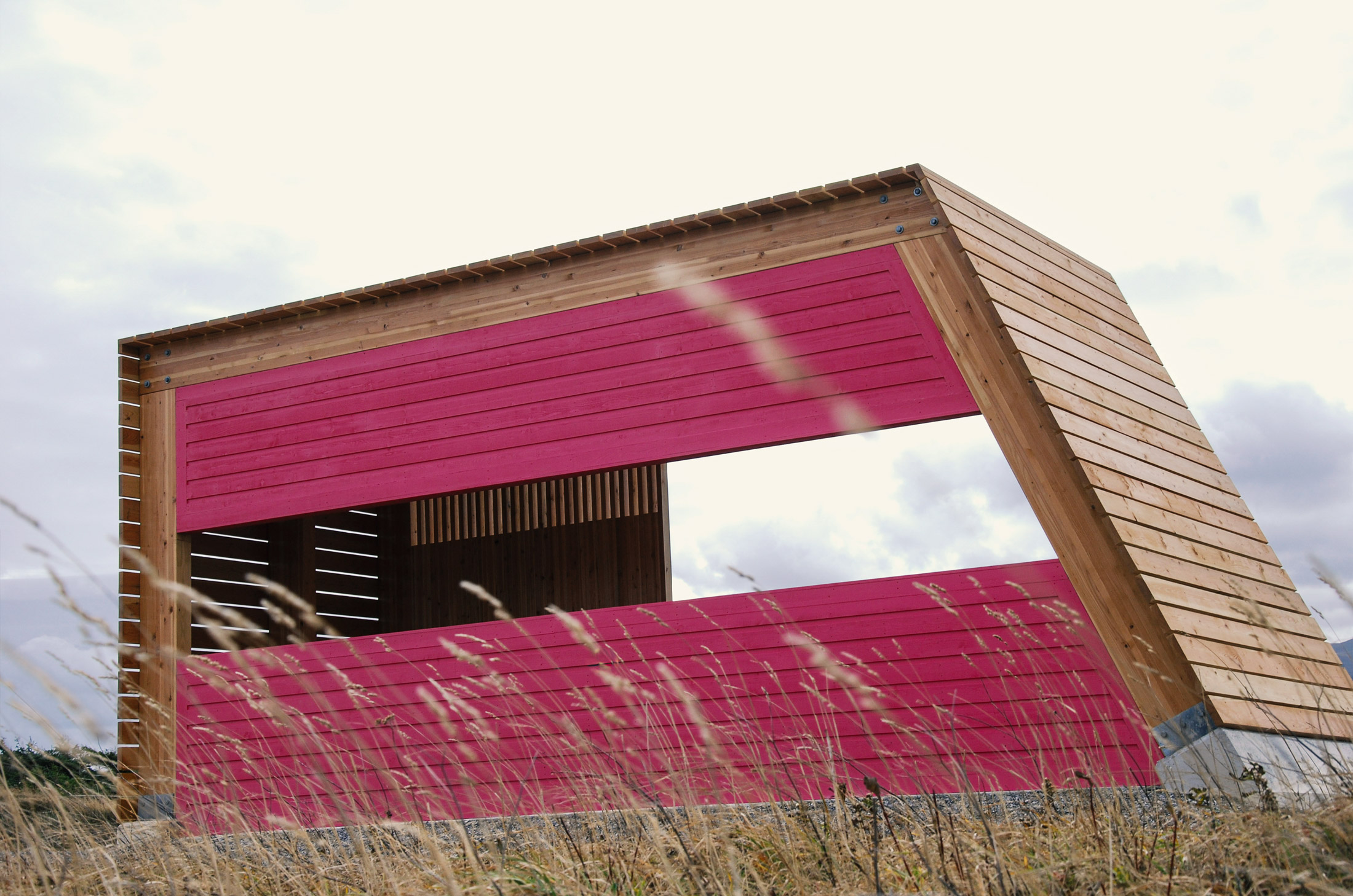
Drive south on Main Street almost to where it ends at the fish plant. Turn left onto Payne’s Path, and then right at the top of the hill onto Bayview Road. Continue up the short gravel road to find the parking area at Salmon Point and the Seven Corners structure looking out over Rocky Harbour.