
Overview
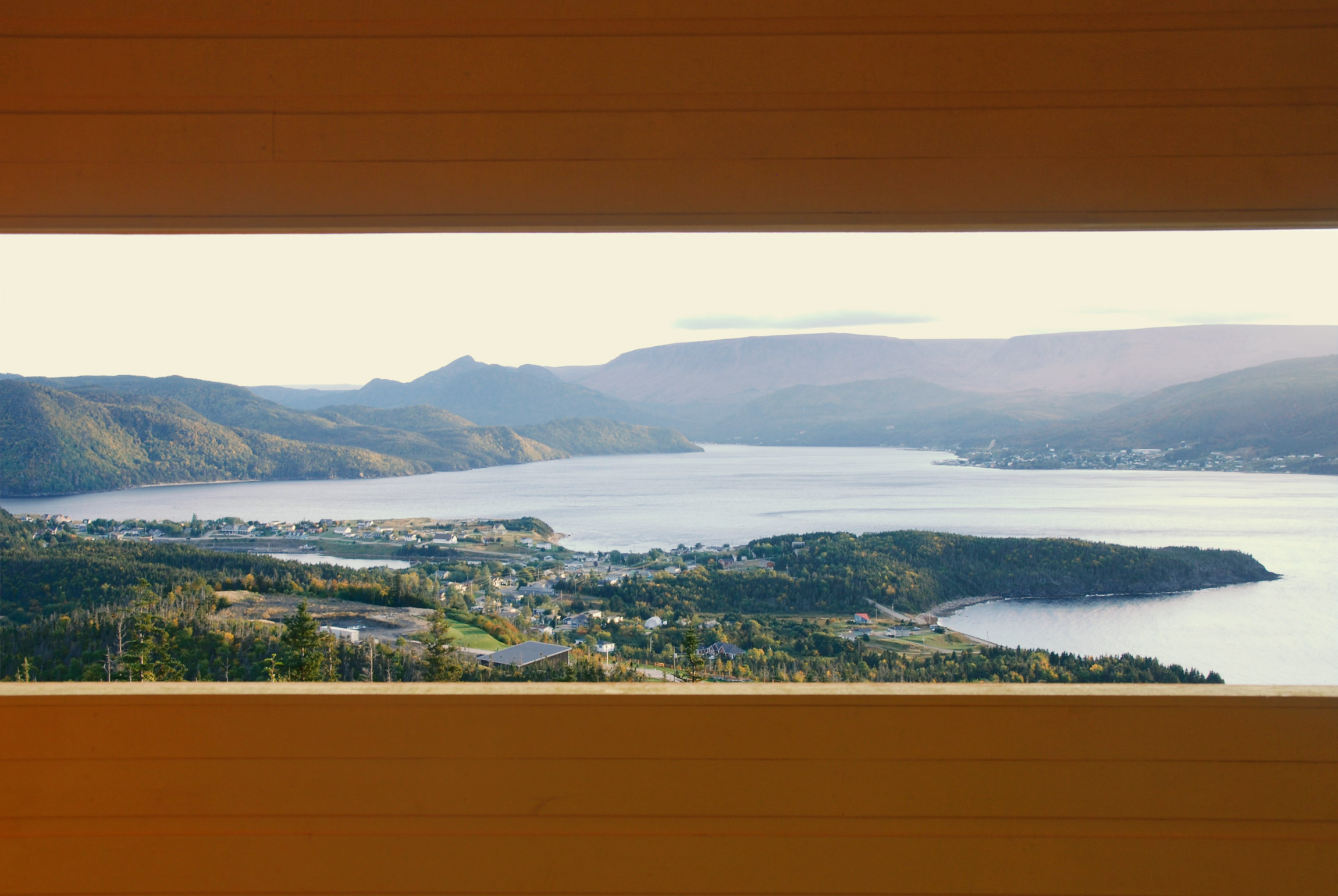
Scoured from bedrock by flowing glacier ice, the narrow junction (the Tickle) between the South and East arms of Bonne Bay is a great place to look for seabirds, whales, and seals. Once a vital winter hunting ground for Indigenous peoples and a historic fishing harbour, the waterfront of Norris Point is now a hub for exploring the shores and waters of Bonne Bay. Here, you can learn about marine plants and animals at the Bonne Bay Aquarium and Research Station, explore the fjords by sea kayak and tour boat, or hike Burnt Hill Trail for a bird’s-eye view of the surrounding mountains and waters. From the heritage-rich halls of the Old Cottage Hospital to the salty breeze of the government wharf, Norris Point offers an authentic Newfoundland experience.
How to Get Here
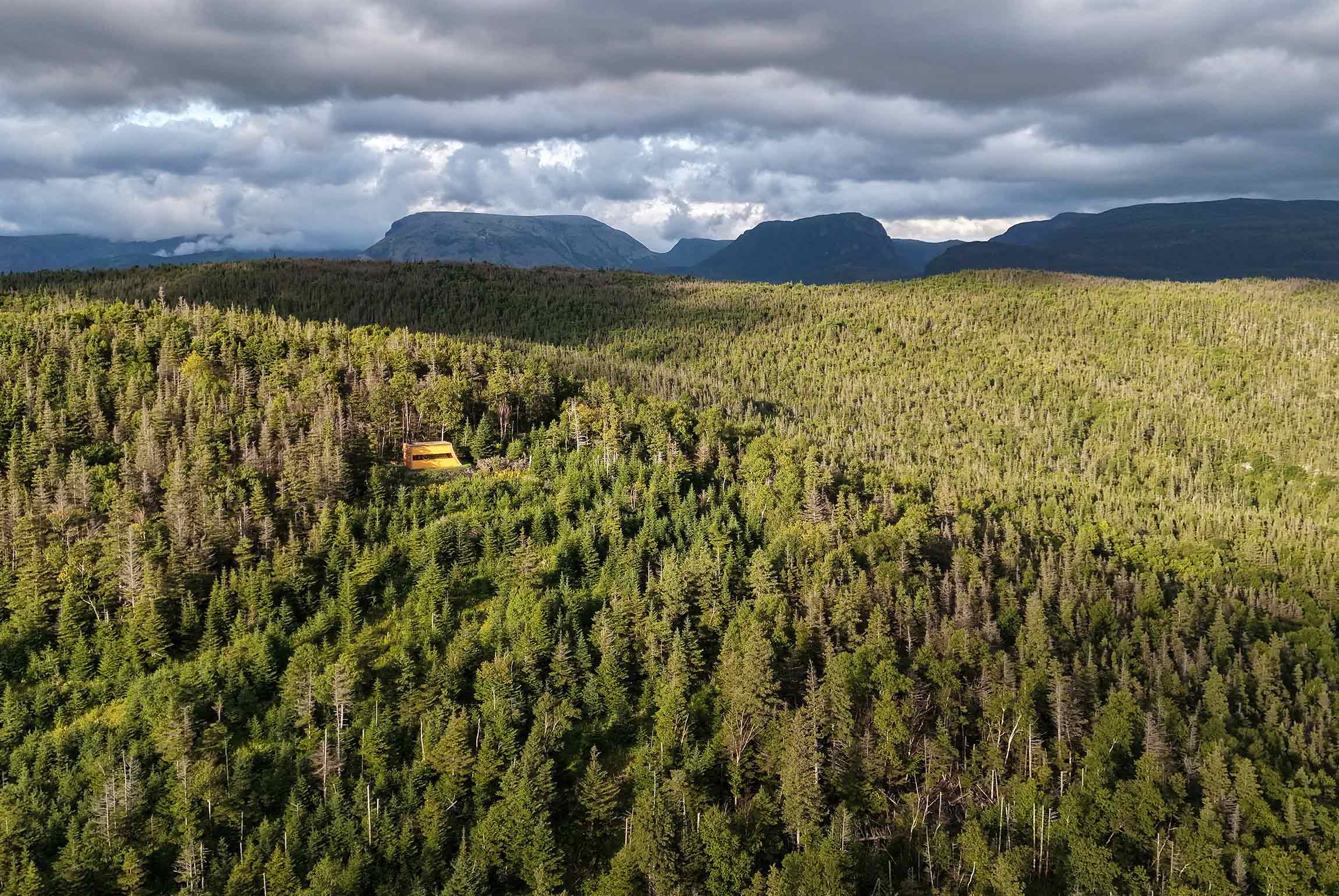
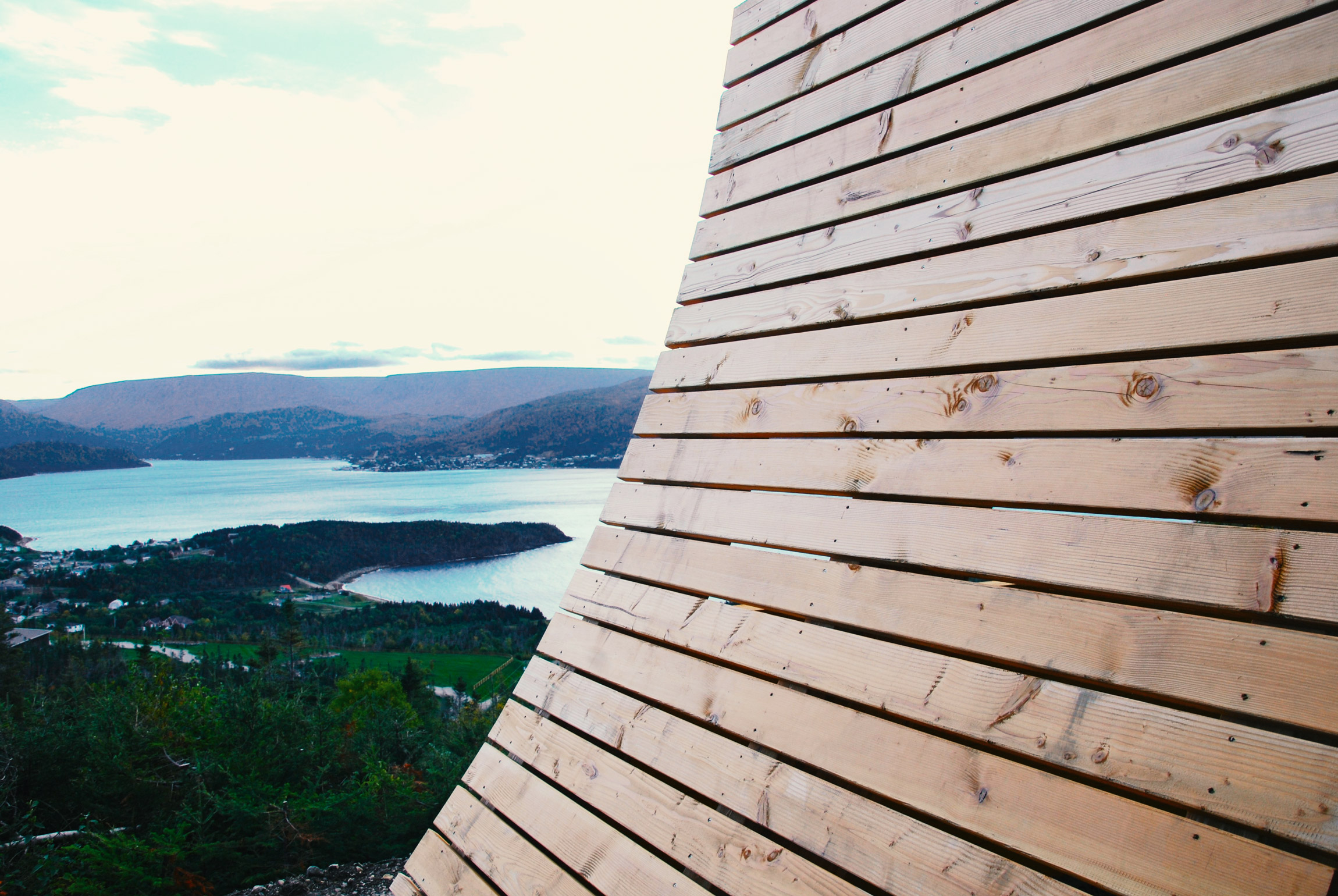
Entering Norris Point along Main Street, bear left toward the trailhead for Northcott’s Trail just before Jenniex House comes into view. Follow the winding forest path as it climbs gently upward until you arrive at this structure tucked among the trees, overlooking the waters of Bonne Bay.