
Overview
For many people, life in Trout River still has a traditional rhythm: families tend seaside gardens, harvest firewood, pick berries, hunt, and participate in the fishery. Visitors strolling the town’s boardwalk will see lobster traps and colorful boats at the wharf, all set against a backdrop of steep cliffs and sand-and-gravel terraces rich with ancient seashells. In early summer, the waterfront becomes a theatre of nature as thousands of capelin spawn in the shallows, often chased by hungry whales. For the adventurous, Trout River serves as the ultimate basecamp for exploring the coastal meadows of Green Gardens or the rugged beauty of Eastern Point.
How to Get Here
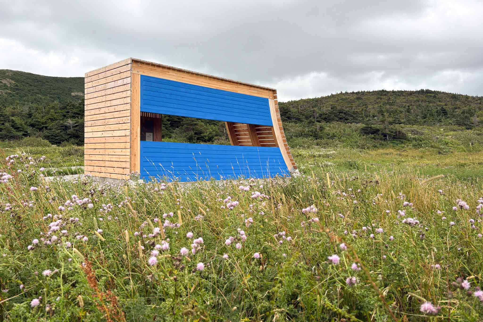
Drive to the very end of Main Street in Trout River, where a dramatic staircase marks the start of the Eastern Point Trail. Follow the rugged coastal path until you encounter this structure, perfectly placed to look back over the quiet, breathtaking beauty of the community below.